Cinder Cone Trail
Description
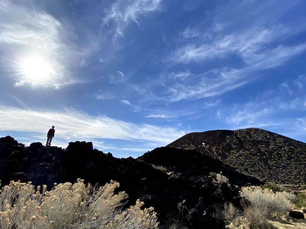
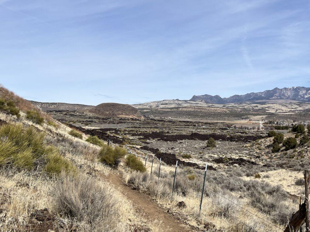
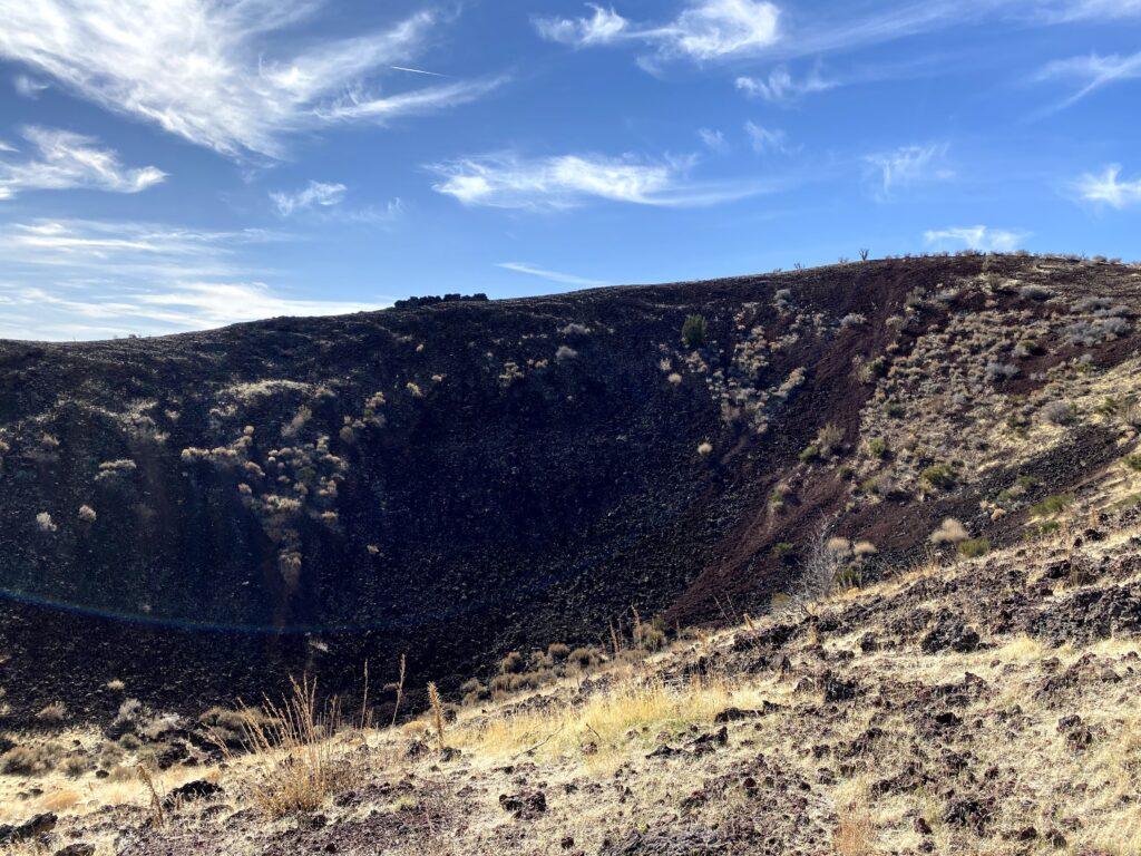
The Cinder Cone Trail in Snow Canyon State Park will let you climb up to the top of and then down into a volcano. If you have ever driven around the areas of Snow Canyon and Santa Clara, you can’t miss the black basalt from the lava that once flowed through this part of the state. Much of this lava came from the cinder cone just past Snow Canyon State Park’s north entrance.
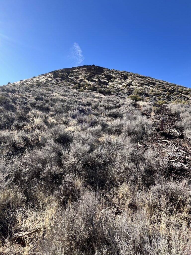
This cinder cone is estimated to be around 27,000 years old. The park recently did a lot of work on the trail, including a parking lot and trail maintenance. The best part is the addition of some switchbacks to eliminate some of the length of the slippery final section that brings you to the top of the cinder cone.
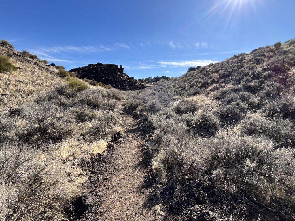
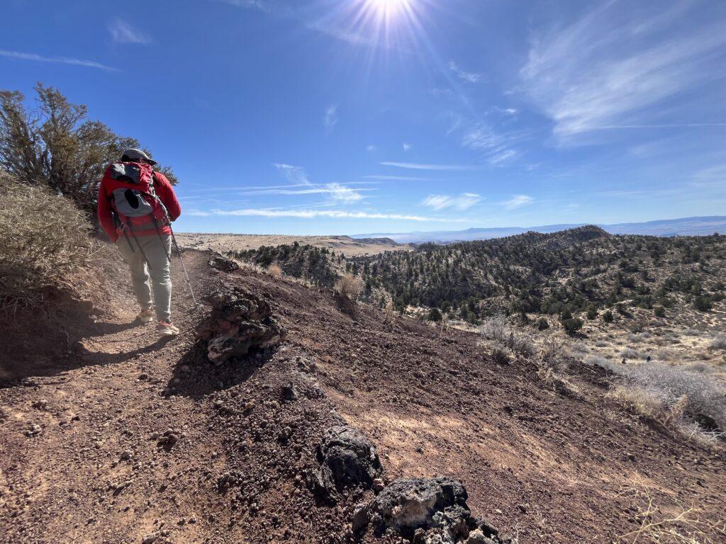
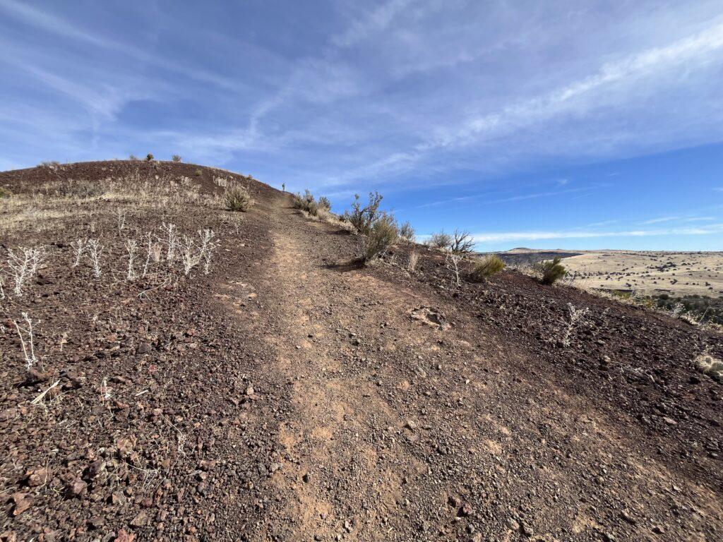
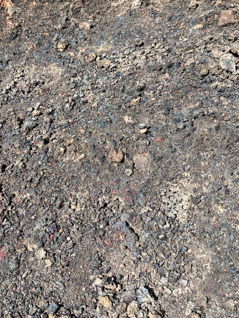
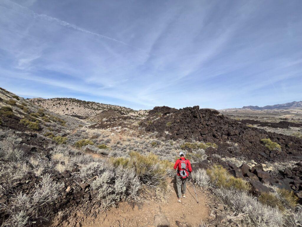
You start the trail by walking through a short lava field. Then it’s a packed dirt trail for a short time until you are hiking on small pieces of cinder, while surrounded by larger, multi-colored pieces. Take your time and look at the cinder colors. Many are the expected black and grey, but you will also see deposits of maroon and even iridescent blue colors.
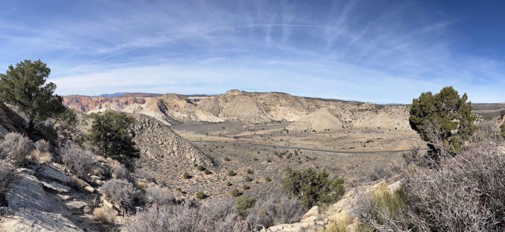
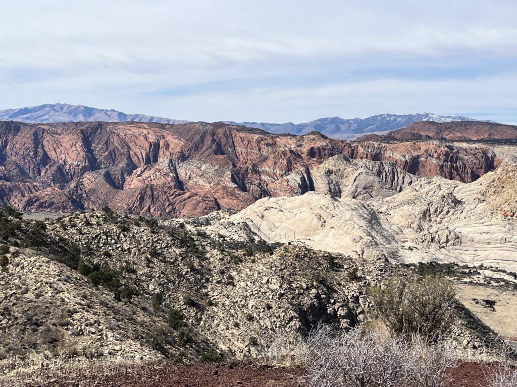
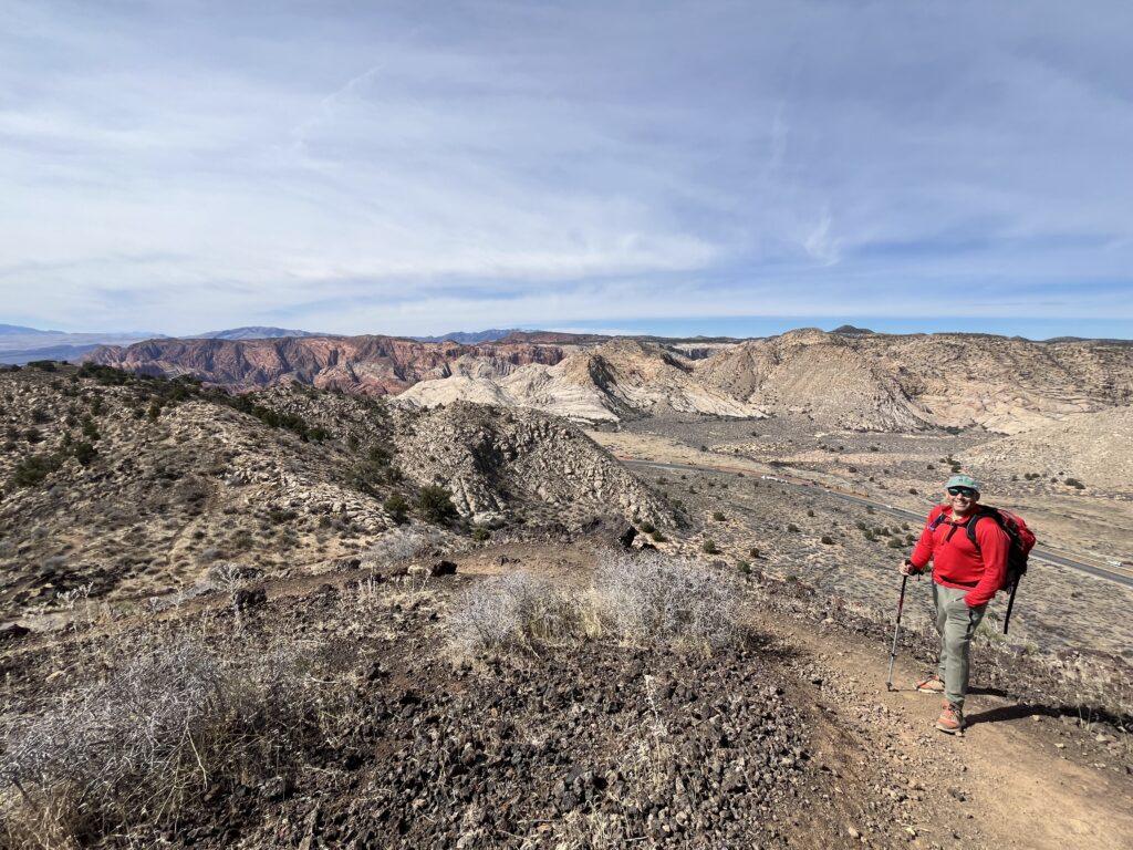
That final section previously mentioned still exists, albeit shorter. Bring your trekking poles, this is a slick and steep spot that the poles will help you navigate when you head back toward your car. When you get to the top of the cinder cone, you can walk around the rim. You can also walk down into it. How cool is that?! The view from the top is phenomenal. You have a 360 degree view of Pine Valley Mountain, Santa Clara and Saint George, and a wonderful view over the orange and white cliffs of Snow Canyon State Park.
Recently, we were able to participate in a ranger-led hike by Snow Canyon State Park’s naturalist. We learned an incredible amount about the geology of the region, about this particular cinder cone, and the volcanic activity of the Snow Canyon area. Click on the link below to stay tuned via the park’s newsletter and events page for other educational opportunities.
If you are interested in learning more about the lava flows and geological make-up of Utah, check out this interactive map:
Tell Me More
Difficulty: Mild to moderate related to loose trail surface and final ascent to the top of the cinder cone.
Trail Stats: 2 miles, out and back, 462 feet elevation gain.
Trail Finding: Easy.
Conditions: Large cinder pieces, some packed dirt, lots of loose small cinder ‘gravel’.
Would I Repeat This: You bet, and we have!
Let’s Do This
Parking: Parking lot available.
Timing: You can do this any time of the year, however, be aware that there is no shade.
Downloaded Map: Not necessary.
Fees: Cinder Cone trail is still within Snow Canyon State Park. You will be required to pay the daily entrance fee, or to present your State Park Pass
Nearby Fun
Trails: Hidden Pinyon, Lava Flow, White Rocks, Upper and Lower Galoot trails, Petrified Dunes, and more.
More Photos
