Yant Flats and Candy Cliffs
Description
The Yant Flats and Candy Cliffs trail was one of the very first adventures we ever completed in the Saint George area. We first visited this beautiful little corner of the state in November 2020 and we were absolutely sold on living here. This hike was a major scale tipping event that made us fall head over heels in love with the outdoor recreation that Southern Utah has to offer.
We had always heard of Saint George described as “the desert”, which conjures pictures of a desolate, flat, dusty landscape with a tumbleweed rolling into view while a vulture circles in the sky. We finally ventured down this way and, boy, were we wrong. This hike is the exact opposite of what we assumed “the desert” was and showcases the variety of colors, terrain, and textures that Southeast Utah has to offer.
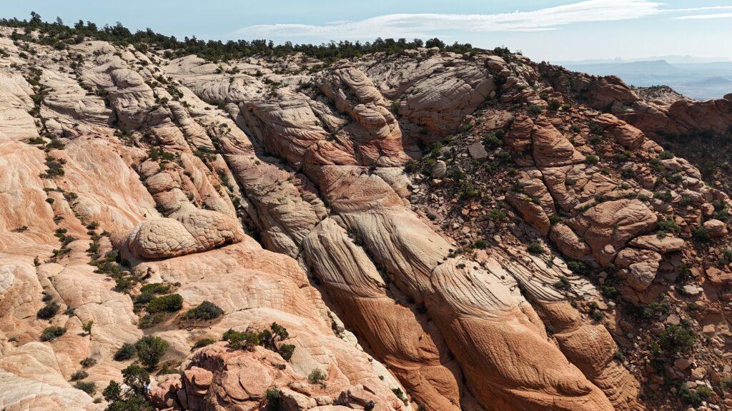
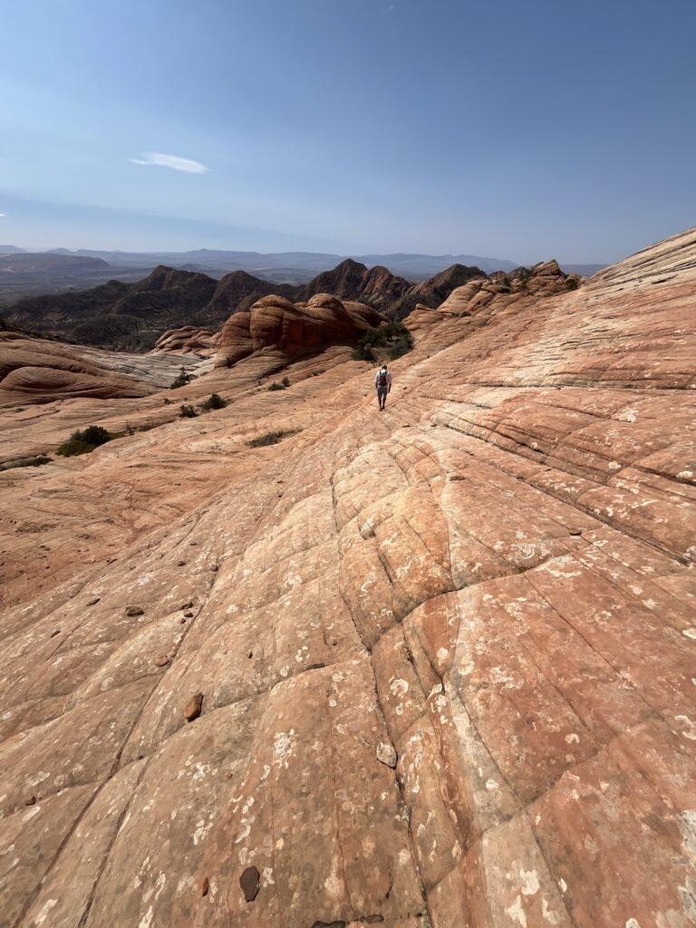
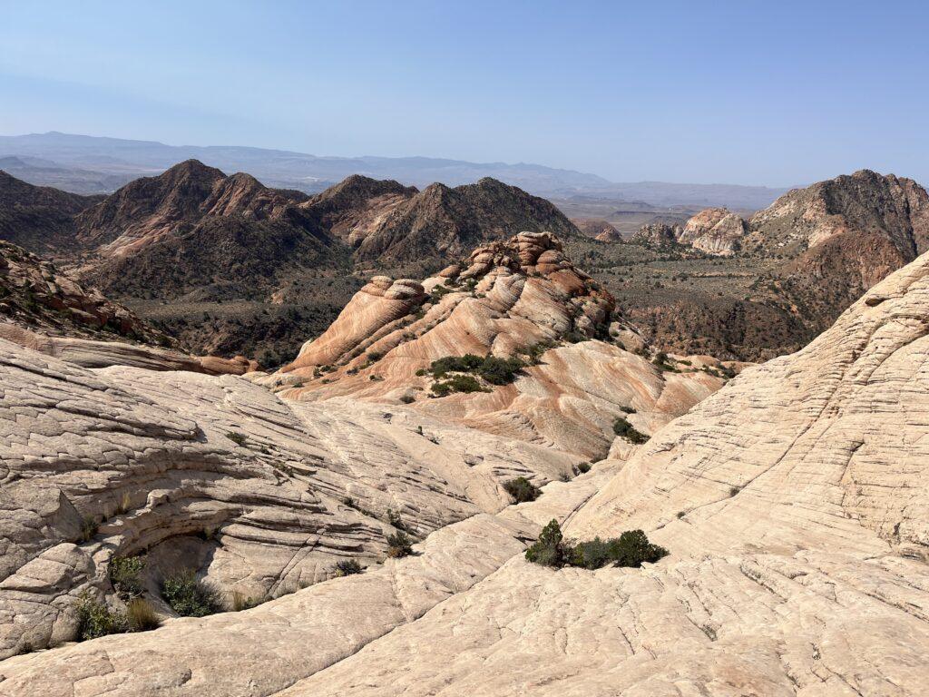
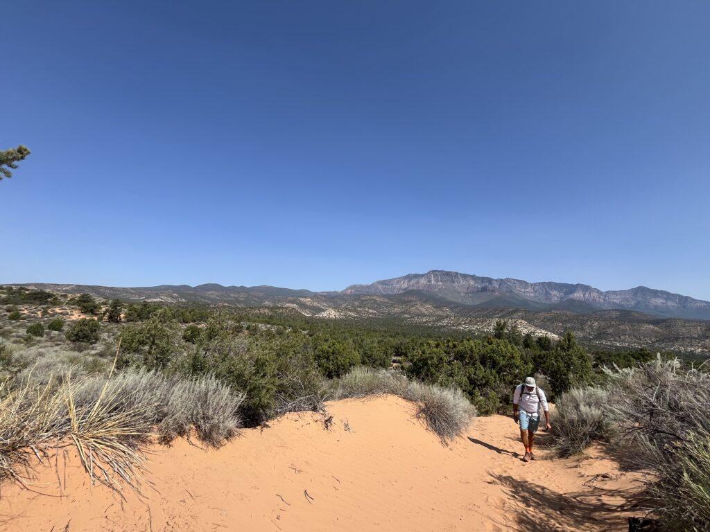
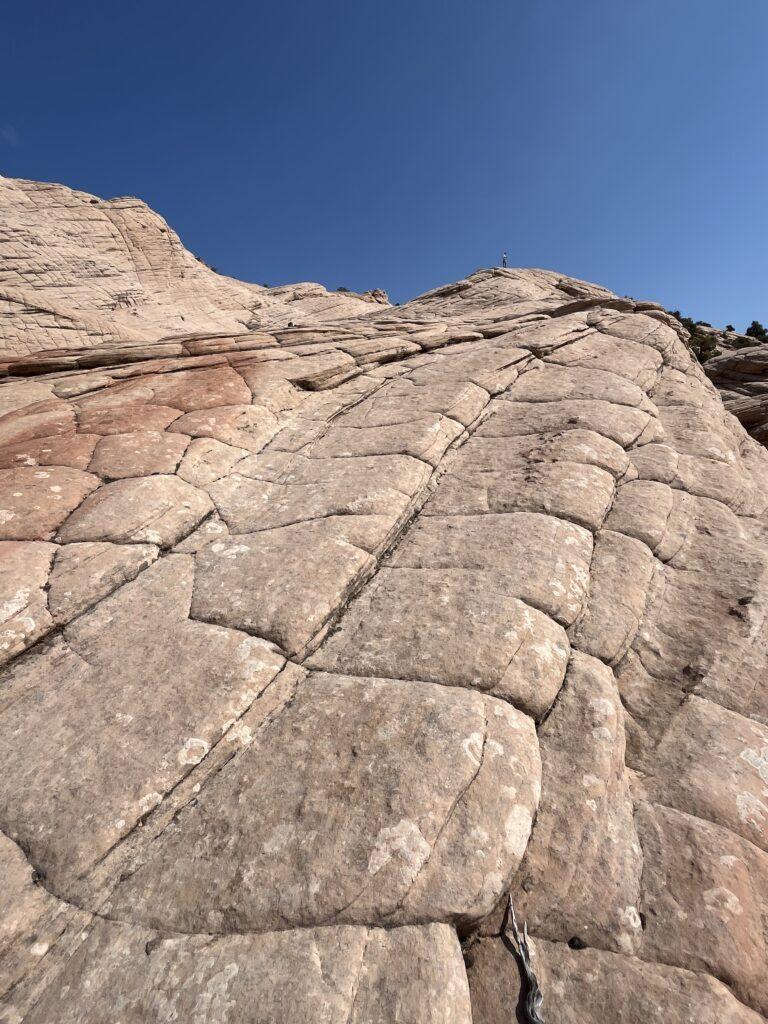
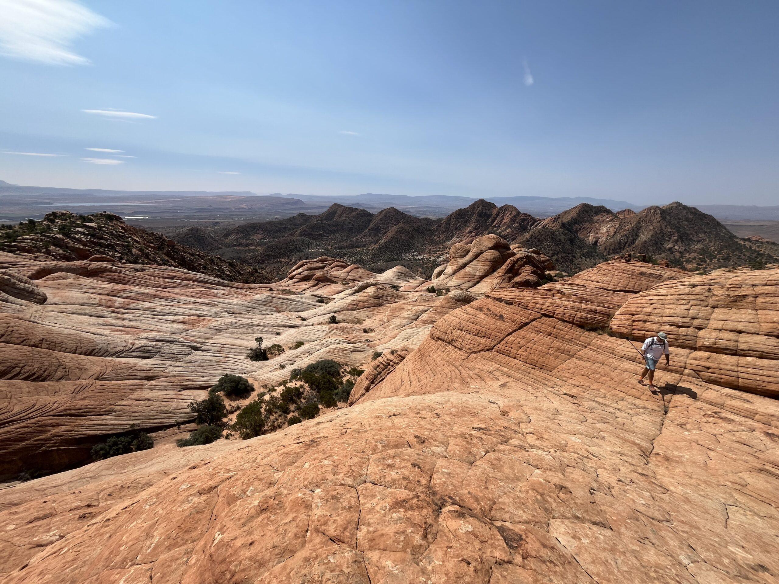
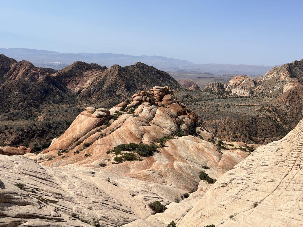
After a windy drive out to near the base of Pine Valley Mountain, the hike itself to get to the view and scramble area is not difficult. Numerous cactus, juniper, and many critter tracks in the sand add for visual interest. Then you will reach the Candy Cliffs area, aptly named for the brilliant striations of reds, pinks, whites, oranges, and yellows in the rocks. If ever “wow” could be appropriately used and without exaggeration, it is here. The area opens up into a marbled rock wonderland of hills, cliffs, and crevasses, with views into the far distance of Arizona, Zion, and Saint George. Explore and climb to your heart’s content, or just sit and marvel at the absolute perfection of Mother Nature. Be sure to continue east to another spot just as beautiful, only a few minutes of hiking past the first hiker’s paradise.
Even the hike out is a treat. You have panoramic views of Pine Valley Mountain. Nerd alert – Pine Valley Mountain is the largest laccolith in the United States, and possibly in the world. This mountain was formed from volcanic activity, when magma attempted to push to the surface and was unable to escape, creating the 10,000+ foot mountain you see towering over you as you walk back to the trailhead.
Tell Me More
Difficulty: Mild difficulty to initially get to Yant Flats and Candy Cliffs. Once you are on the rocks and exploring, it can be moderate to difficult related to steepness, unevenness, and scrambling.
Trail Stats: This can be as long as you would like. You will hike roughly one mile before you reach the Candy Cliffs, you can continue around this whole area. AllTrails indicates the Yant Flats Trail is 3.4 miles, out and back, 337 feet elevation gain. This does not include hiking down and in and around the rock formation area.
Trail Finding: Relatively straightforward to reach Candy Cliffs, then you can walk all around on the rocks without a set trail. Once you are done exploring here, proceed towards the left and onward toward another even more beautiful area of multi-colored hills and rock formations.
Conditions: Dirt to start, then sand, then an uphill beach walk through sand, then explore on the rocks.
Would I Repeat This: Yes, and we have numerous times!
Let’s Do This
Parking: Small parking area on both sides of the road. Check road conditions before venturing to the trail, this is remote area with spots prone to wash-out.
Timing: There is minimal to no shade for the entirety of this hike, plan your hike accordingly.
Downloaded Map: Recommended.
Fees: None.
Nearby Fun
Trails: This trail is in what I would describe to be the middle of nowhere. However, if you travel via Leeds, there are numerous within the Red Cliffs Recreation Area. Check out the Red Reef and Anasazi trails, and the dinosaur footprints.
More Photos
