Devil’s Bridge, Sedona, Arizona
Description
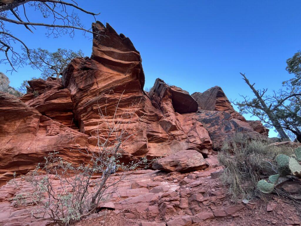
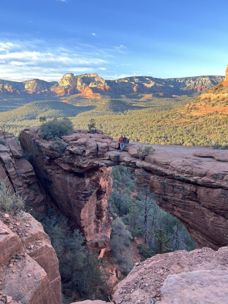
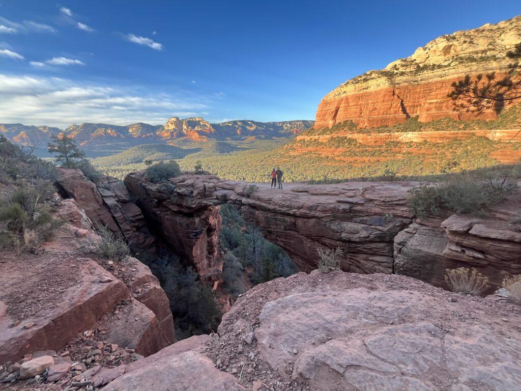
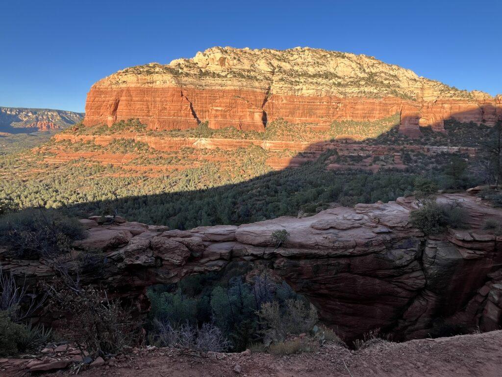
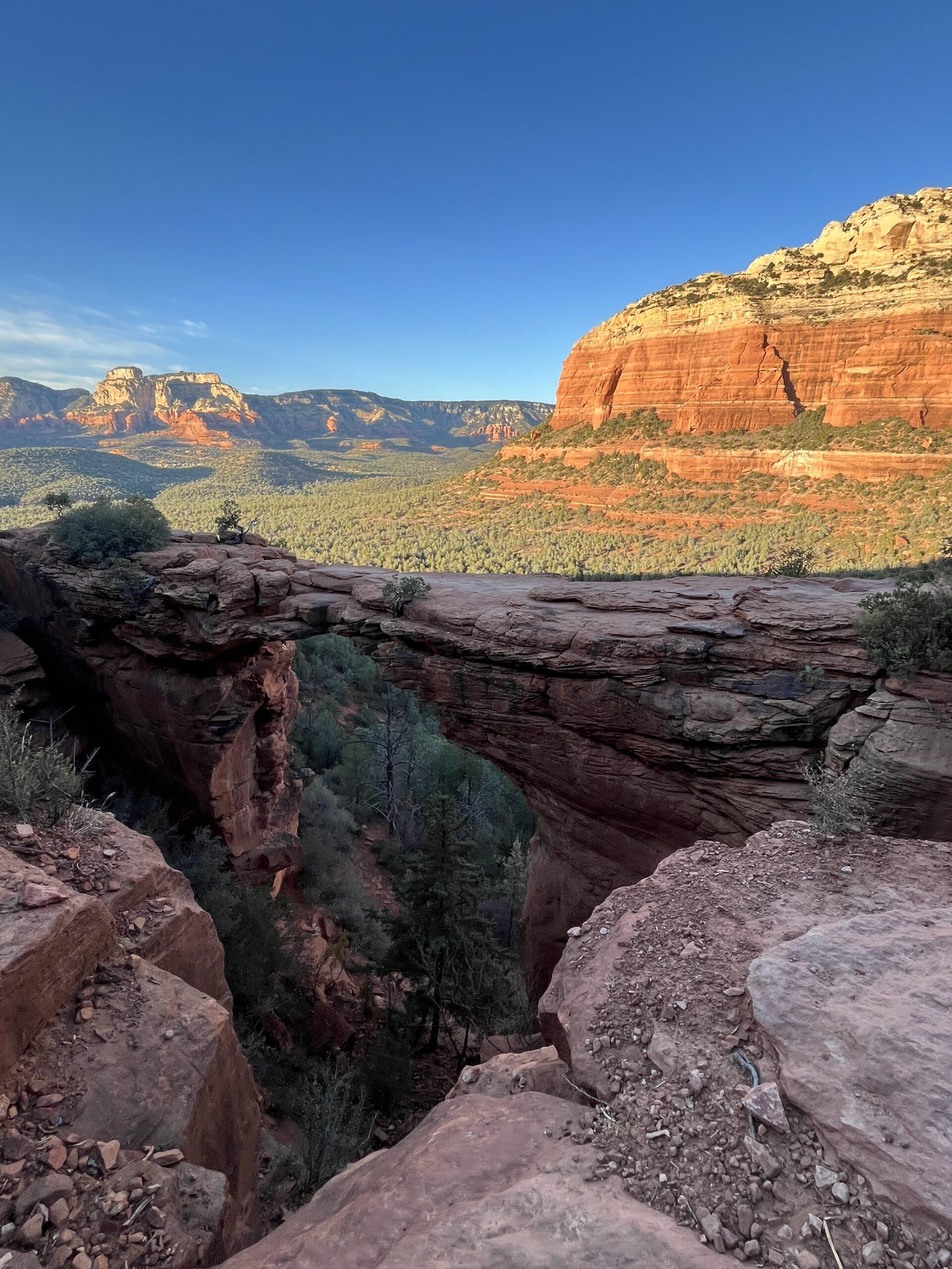
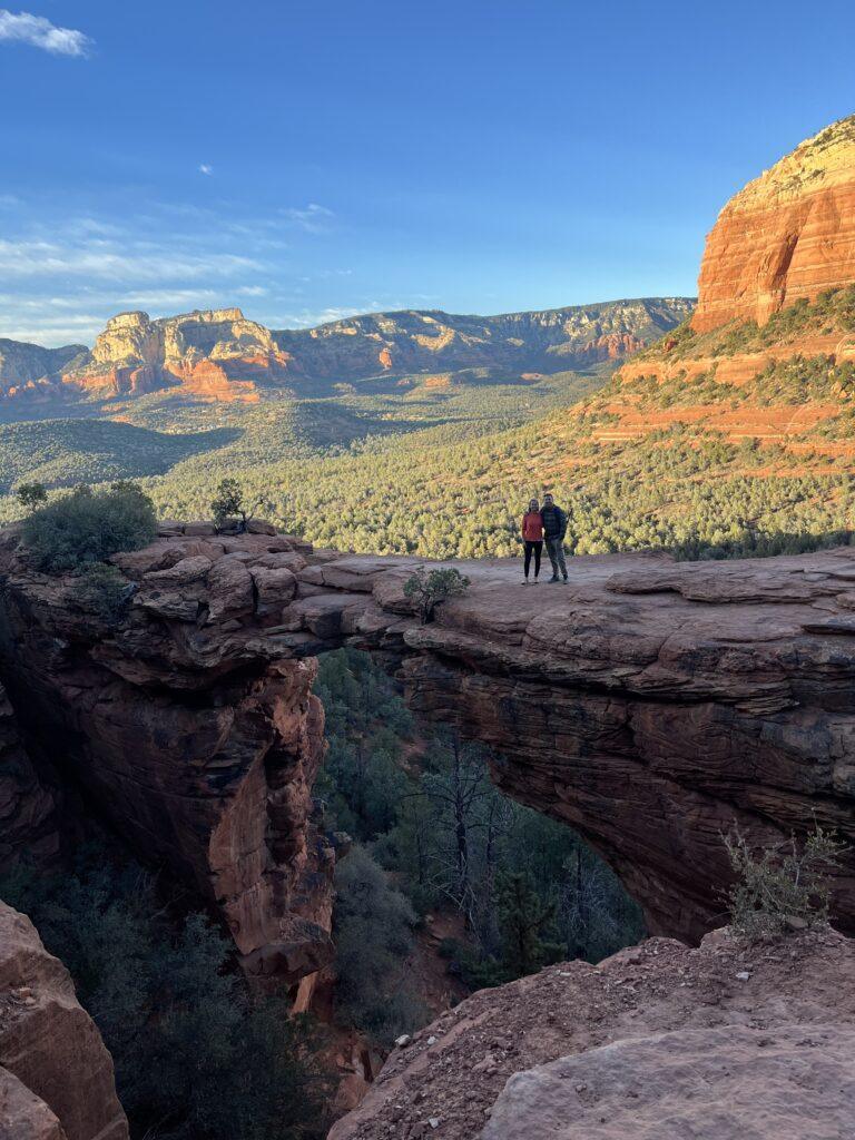
The Devil’s Bridge is a hike not to be missed if you are in the Sedona region. Initially, you will enjoy a gentle meandering hike to reach the ascent to the bridge. Then, put your figurative mountain goat hat on as you hit the steep section upwards. Your reward is to emerge up onto a ridge with jaw dropping view of the surrounding forest, red sandstone rock cliffs, and the largest sandstone arch in this region, the Devil’s Bridge. Since you came this far, you must walk out onto the arch and take in the height, the view, and marvel being able to be out on the rock span.
Tell Me More
Difficulty: Mild to moderate in general, more strenuous for the last ascent up to the Devil’s Bridge.
Trail Stats: From the Mescal Trailhead, 3.9 miles, out and back, 528 feet elevation gain.
Trail Finding: Relatively easy.
Conditions: Packed dirt and sand, rocky climbs.
Would I Repeat This: You bet!
Let’s Do This
Parking: Very limited. Recommend taking the shuttle offered in Sedona that runs specifically to the trailheads if you are going during peak season, or if you do not go early or late in the day
Timing: Many will go for sunrise. We hiked earlier in the day and did this hike in the evening. It was lovely, temperatures were nice, and minimal crowds. We had a short wait to take a photo on the bridge, but there were only a few other people in total there. Minimal shade, so I would recommend earlier or late in the day.
Downloaded Map: Always helpful. We did not reference it often, there were trail markers, but I always like to know ‘how much longer’.
Fees: Yes. You must purchase a Red Rocks Pass through the US Forest Service. You can do so online. There are daily passes, 7-day, and an annual pass option.
Nearby Fun
Trails: Boynton Canyon, Soldier Pass, Munds Wagon, Birthing Cave, and Bell Rock Loop are all recommended trails in the Sedona area.
More Photos
