Navigation and Planning for Hiking


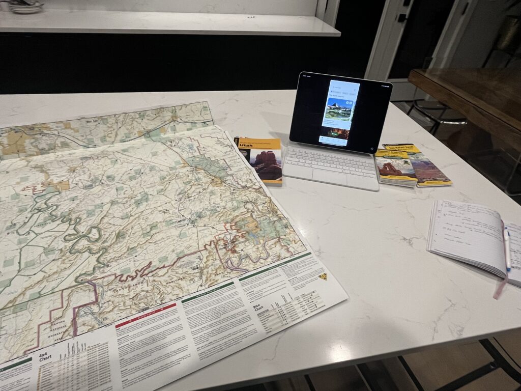
Navigation and planning for hiking is the key to seeing and doing it all. Due to the vast recreational options that Utah has to offer, there is a bit of the feeling of “where do I start” when you are planning a trip. When it’s time to plan our next excursion, I break out my main tools: AllTrails, a paper map, Google, and a cup of coffee. I also have a notebook that I start writing down the trails and notes to myself in. Eventually, I am able to see the itinerary take shape as I laser in on the particular region we will be visiting. Below are my favorite tools for planning and navigating.
AllTrails
My biggest recommendation is the AllTrails app, as well as investing in the AllTrails+ subscription. It is a minimal investment for the amount of use and benefit you will get from it. What is most helpful with the upgrade is the ability to download maps. Many of the areas of Utah that have the best hikes are remote, there is limited to no cell phone service. In addition, many hikes are not well marked. Some of the best trails we have done have been over slick rock or there are social trails that are misleading. Without the downloaded map, some trails are nearly impossible to know that there is even a “trail” that exists or getting to your final destination would require some aimless and unnecessary wandering, if you get there at all. You also see where you are at on the downloaded map in real time. When you are asked, how much longer, you can truly answer if you would like to.
The reviews are extremely helpful. AllTrails has a great community of fellow hikers who often will provide reviews the very day you are reading about the trail. You can find out more on current conditions of the trails and considerations for obstacles or routes to take. Often there will be comments about something to watch for or a spur trail to something else really cool to see. Please do take the reviews with a grain of salt, everyone has different abilities and personal preferences on hikes. One person may say it is an easy hike, while the next may find it to be extremely demanding.
Stats. Each trail has ratings, data, elevation maps, and more. The best part is the personal stats. I love seeing our final distance and elevation gain and the satisfaction of the physical work we put into our hike.
National Geographic Trails Illustrated Maps
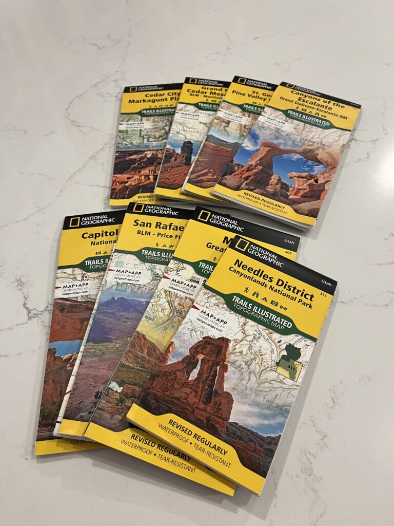
Yes, please buy these. These maps are region-specific and are marked with paved and unpaved roads, trailheads, landmarks and points of interest. They are waterproof too. Cross-referencing this map with AllTrails helps me to know where to look at in the app or vice versa for more things to do. Let me stress this again, there are many, many times where there is no cell phone service on these hikes. We carry this map with us during the excursions to remote areas to use for route finding to the trailheads. In addition, if we end up with extra time, I can use the map to see what other points of interest are nearby since I may not have signal to use an app.
“Big Wall Map”
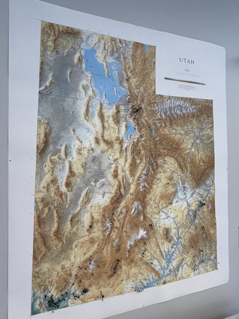
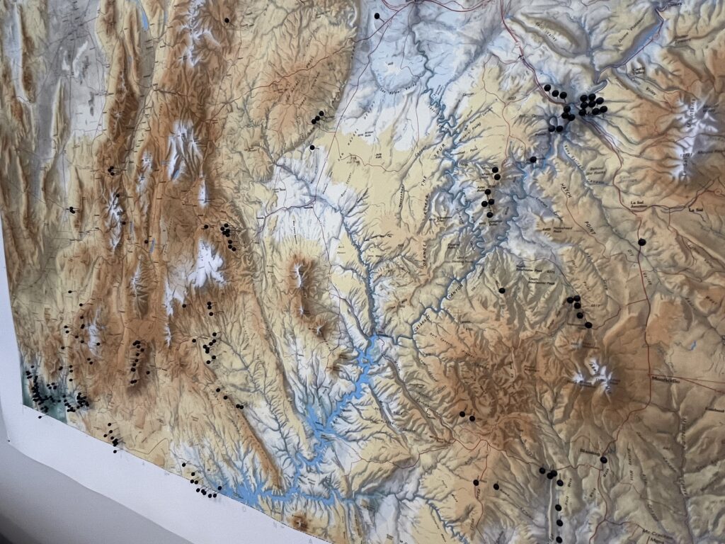
I have a giant map of the state in our family room. I enjoy putting pins in to represent all of our various hikes and document where we have been. I like to use the map to look at areas that need a pin in it and have yet to be explored by our family. For example, the Delta area is pretty blank. We are currently planning a trip to rockhound in that region. Delta pins coming right up!
Other Helpful Tools
Travel blogs, Google searches, and Facebook groups that highlight hiking and the outdoors are helpful to provide ideas and add to your research.

