20 Mile Wash Dinosaur Trackway and Devil’s Garden
Description
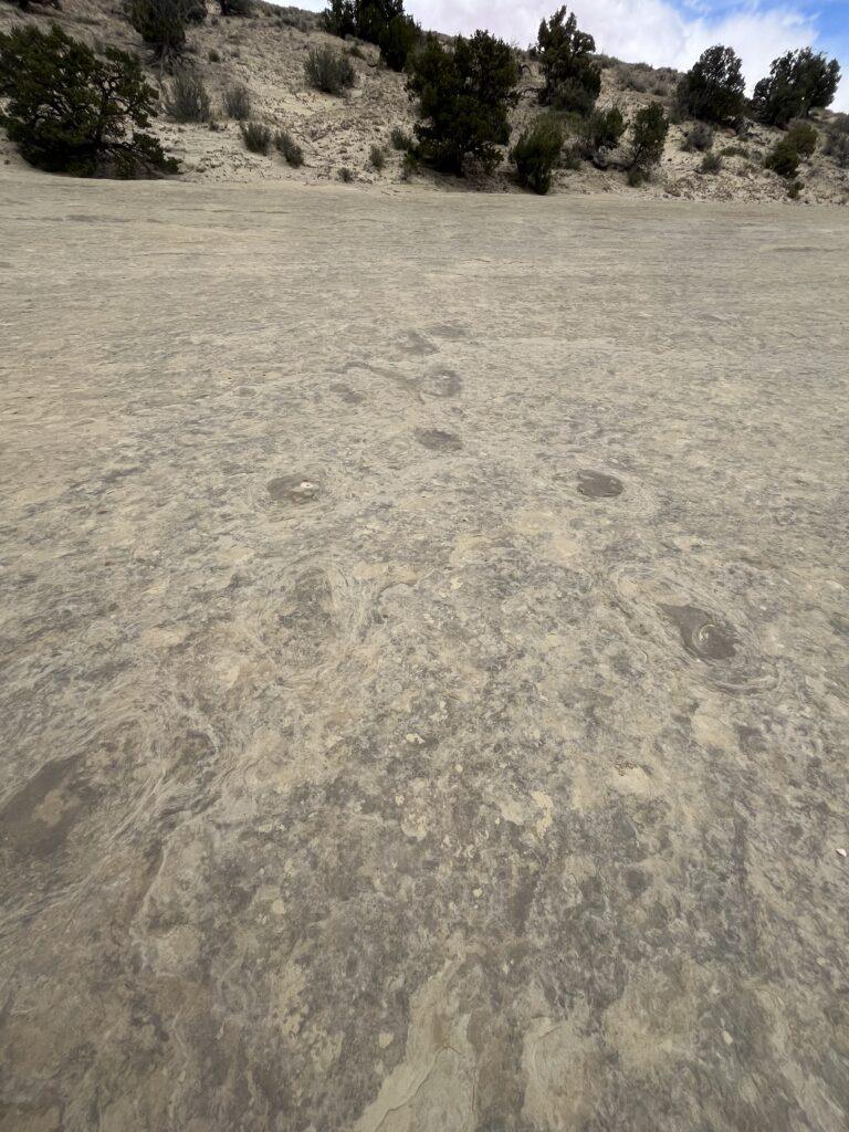
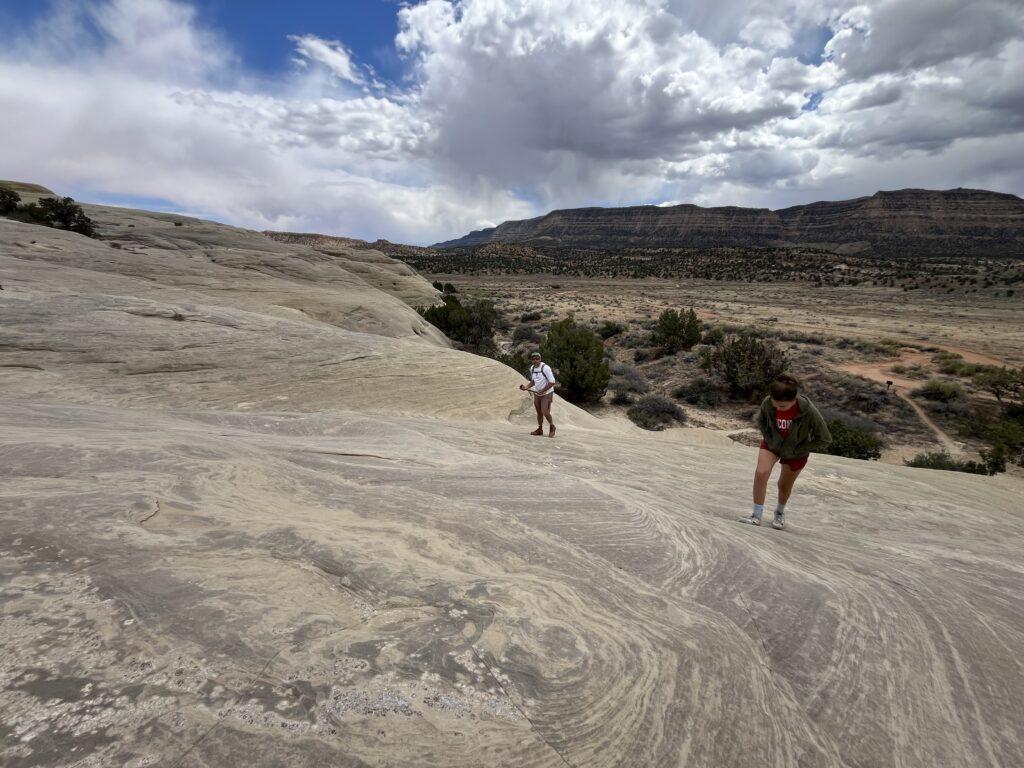
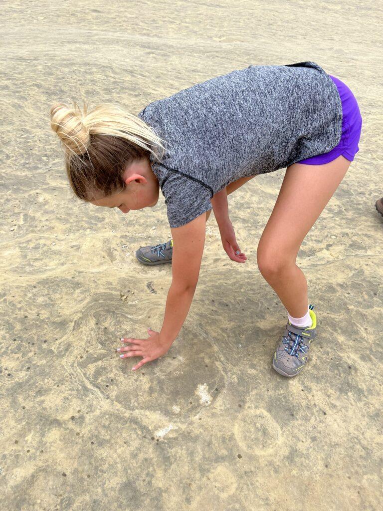
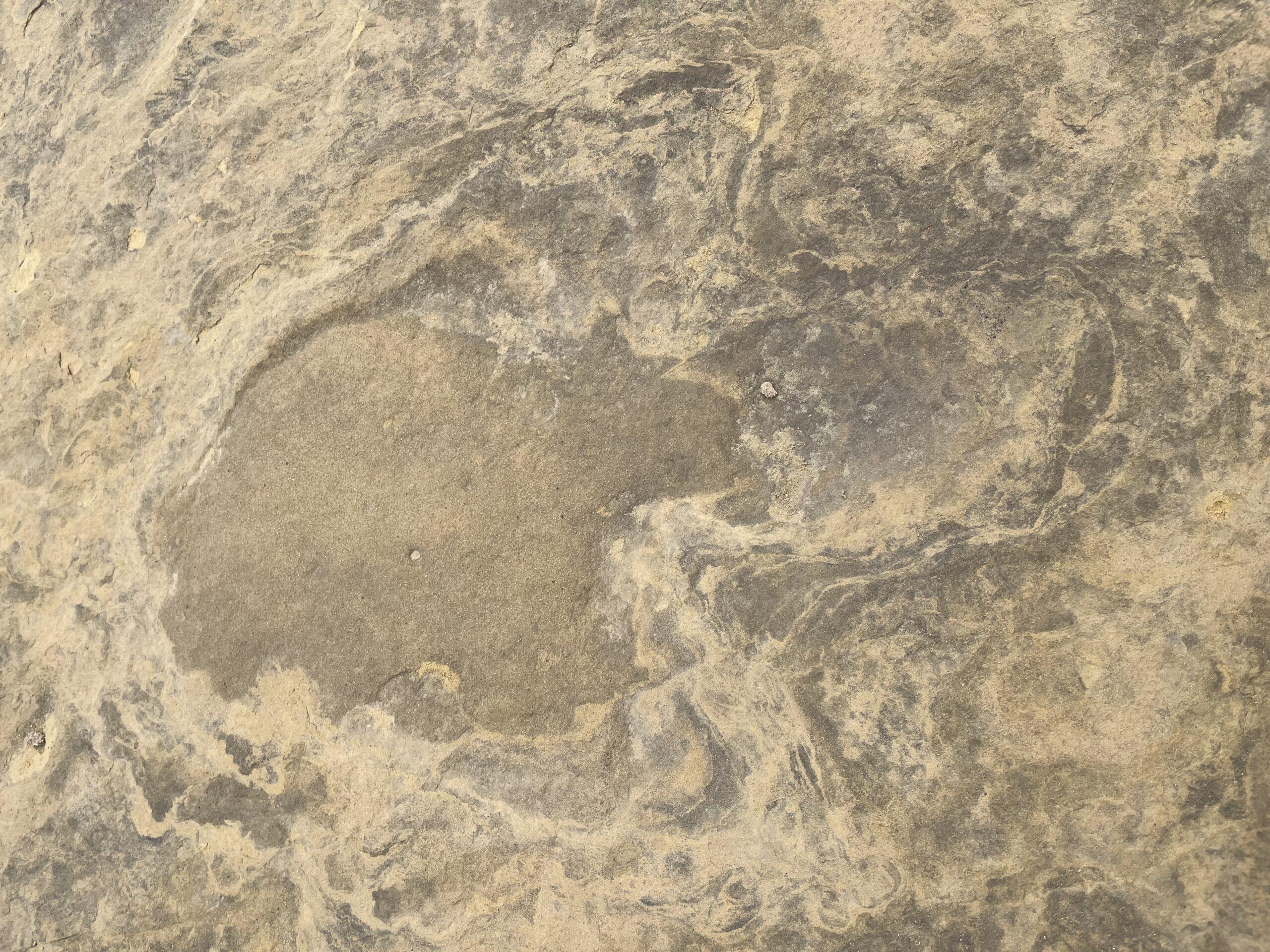
Let’s talk about two places that are ideal spots to wander. The first special spot is called 20 Mile Wash Dinosaur Track Site or Trackway. Picture walking exactly where dinosaurs roamed in prehistoric times. See hundreds of dinosaur tracks that were created by these huge creatures millions and millions of years ago, over 800 tracks from what we last read. Most of the tracks are from large, plant eating dinosaurs, but tracks belonging to carnivorous species are there as well. The tracks appear as mostly circular indentations, almost like round ripples in the rock. Though some of the tracks may not be as defined as other small track sites in Utah, we have never seen so many in one place or in a row. You can walk right alongside the path a dinosaur walked and see its alternating footsteps. Just amazing!
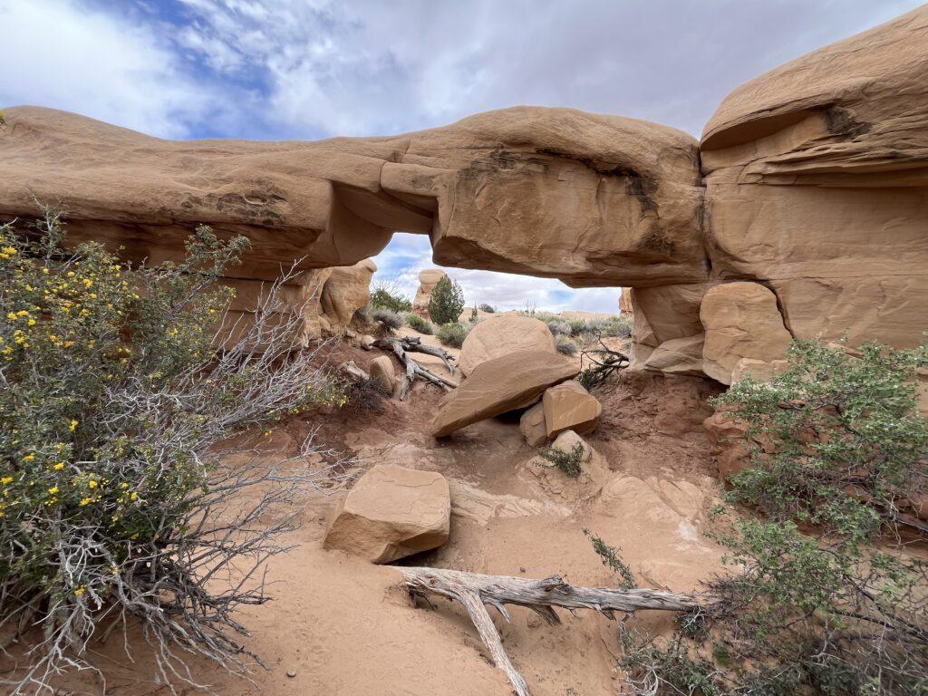
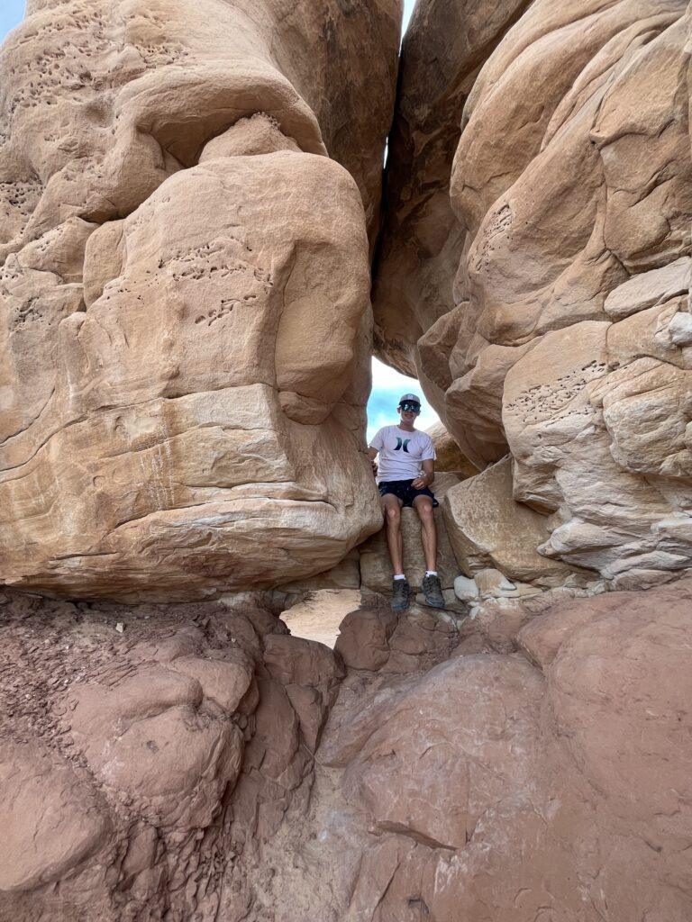
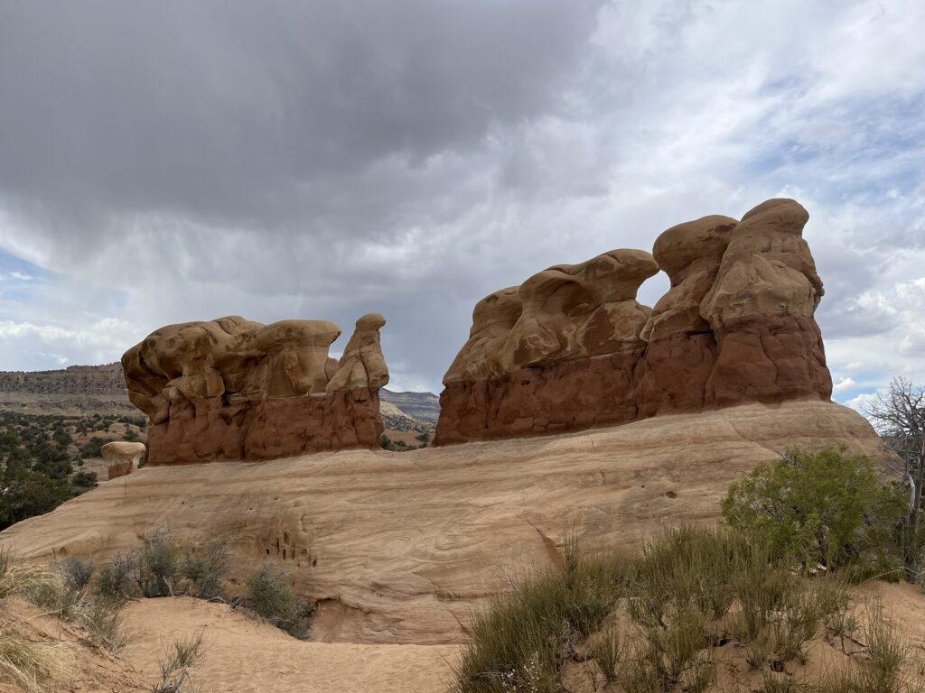
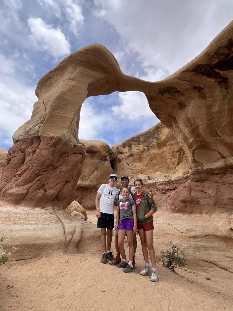
Head on down the road back towards Escalante to one of our kids’ favorite stops. Devil’s Garden is a mini Goblin Valley. You will wander and weave through sandstone hoodoo formations. This is a fun place to scramble, go through holes, go up and over and under rocks. You can also view Metate Arch, a uniquely shaped arch that you can easily get to and appreciate.
Tell Me More
Difficulty: Mild for the initial climb up into the trackway site, easy thereafter. Devil’s Garden wandering is rated as easy.
Trail Stats: Once you are on the rock shelf where all of the tracks are, you will walk and wander as much as you feel like. AllTrails says this is a 1.5 miles long route with 157 feet elevation gain. Devil’s Garden is walk as you would like. AllTrails provides a 0.4 mile loop that includes Metate Arch.
Trail Finding: There is no specific trail to follow for the dinosaur trackway, walk around on the slick rock ridges and look down, you will see the tracks. For Devil’s Garden, there are some social trails meandering throughout the rock formations.
Conditions: Rock shelf surface for the trackway. Sand, packed dirt, rocky surface at Devil’s Garden.
Would I Repeat This: Yes, and we have!
Let’s Do This
Parking: There is a turn out to park at for the trackway. If you look closely, there is a point of interest marker where you will start walking up the rocks to get to the tracks. At Devil’s Garden, there is a good sized parking lot.
Getting to either location requires miles of driving down a washboard gravel road. The level of washboard varies. Recommend a high clearance vehicle, or going slow. Both areas of interest are down Hole In The Rock Road.
For the trackway, I would not do this in a low profile vehicle. If you are coming from Escalante on Hole In The Rock Road, turn right after 14 miles onto Left Hand Collet Canyon Road (BLM 230). The condition of this road is variable, it can have some large ruts and is dirt and gravel. You will travel down this road approximately 2.4 miles and then take your first right, the start of the trail to get to the trackway is roughly ¼ mile after that.
Timing: You can do this at any time of year, though be aware there is no shade at the trackway and minimal to no shade in Devil’s Garden.
Downloaded Map: Yes, to make sure you are in the right area for the tracks. To find the road to turn on, I recommend having the National Geographic Map for the Grand Staircase-Escalante region.
Fees: None. You must register at the marked trailheads if you are camping in Grand Staircase Escalante National Monument.
Nearby Fun
Trails: Peekaboo and Spooky Slot Canyons, Escalante Natural Bridge, Phipp’s Arch, Upper and Lower Calf Creek Falls.
More Photos
